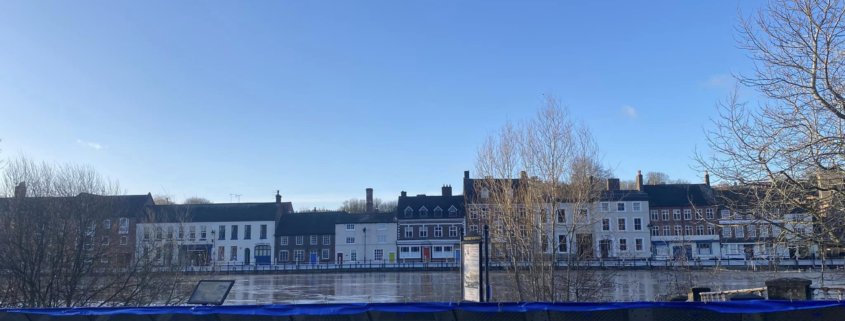
Flooding Update
Please note general updates for Friday 13 January 2023:
- Weather – Met Office
- Some respite today with light showers – issues overnight with some prolonged heavy rain into Saturday expected from around 21:00 – 22:00hrs
- Expect 15-20mm and on higher ground / catchments 20-40mm
- Saturday – light rain with another episode on Sunday
- Monday into next week – Wind moving from a Northerly direction bringing showers – possible sleet / snow
- Conditions getting colder – expect frost
Rivers – Severn
- 18 flood warnings / 5 flood alerts
- Bewdley gauge – A peak expected of 4.9m Saturday PM
Operational Deployment
- Bewdley barriers Phase 1 / 2 deployed
- Beales corner deployed Thursday evening and the bridge close to traffic – Beales barrier overtop at 5m
- EA staff will be moved to other side of BC barrier at 4.8 for safety reasons
- Pedestrian access in place and a free shuttle bus in service covering alternative circular route
- Stourport Rd closed due to pumping equipment
- B194 (Switchback) still open however this road will close as river rises
Tactical Command
- Worcestershire TCG established Thursday 12 January – Meets Friday / Saturday established
- Bronze Cell established Thursday 12 January at Bewdley Riverside Elim Church – Meets Saturday 09:00 dial in
- Property lists supplied to TCG for known addresses flooding over 5m
- Likewise, all Caravan sites at risk notified
- Tactical Comms being led by the EA – Adam Bealby adam.bealby@defra.gov.uk (incidentroom.wmd.shwg@environment-agency.gov.uk)
- WRS organising some Environmental Health resource for Monday to contact any flooded businesses then. Anyone who actually floods this weekend is unlikely to be able to open without clean-up before then.
- Major Incident Status – Not Met


